Social and Economic

It is important to consider the local community’s concerns and the individual, social and economic impacts that this project will have on lifestyles, welfare and the local economy. Underground transmission cabling minimizes land depreciation impacts, while reliably and economically delivering power, satisfying the expectations of all communities concerned.
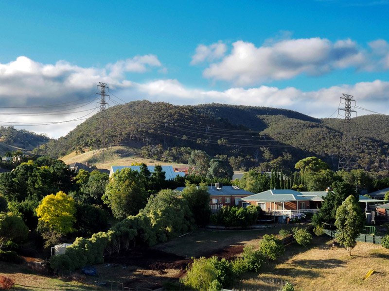
Decreased Property Value

Land and Property Values will Plummet

The Moorabool Shire will suffer with ~60km of this transmission line.  It appears that the preferred siting of these transmission towers will be north of the Western Freeway from Ballarat to Bacchus Marsh.  In the Bacchus Marsh area, the towers would likely be placed along the northern edge of Darley between Darley and the Wombat State Forest / Lerderderg State Park.
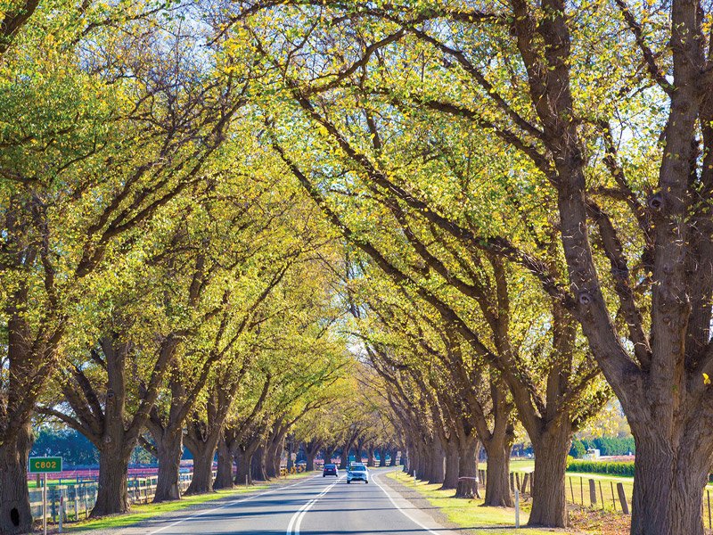
If these 85m high, 500kV high voltage transmission towers and lines are in the field of view from properties, it will drastically affect the environment and landscape views, forever.  As a result, it will also directly affect local land and property values.  These impacts cannot be mitigated later.

Diminished regional appeal and negative economic impact

Diminished Regional Appeal and Negative Economic Impact

These massive towers will destroy the widely held view of the region as being a clean, green, healthy, semi-rural lifestyle, surrounded by pleasant landscapes and natural assets.  Devaluing the ‘appeal’ of the region will have flow-on effects and will impact on the number of visitors to the region (currently >500,000 per year) and also retard the projected growth-rate of this, ‘significant Growth-Corridor’, as identified in both the Plan Melbourne and Central Highlands Regional Growth Plans.
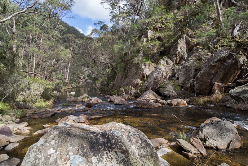
As the land values for the area decline and the population growth expectations reduce, so will future investment, amenities, facilities and consequently, quality of the lifestyle of residents, property owners and businesses.

Residents living in the Moorabool Shire do so because they want to be near Melbourne while still living a lifestyle surrounded by a semi-rural atmosphere and its associated natural landscapes.  Everyone loves our smaller towns with their serene country charms, and we need to protect these from the impacts of these imposing infrastructures.

The impact on urban environment and property

  • High potential for a decrease in the attractiveness of towns to future residents relative to current conditions, at least in areas proximate to or in view of the transmission lines. Implications for population attraction and retention, property values and businesses relying on population-led demand.
  • Urban growth area land may be impacted depending on the ultimate alignment, including developable area, efficient development and investment value.
  • A material reduction in land supply available for new housing will have implications for housing availability, choice and affordability across eastern Moorabool and potentially also western Melbourne.

Values impacted

  • Population service industries account for 57% of local jobs (4,484) and 43% of annual output ($976m). Population growth is a state objective for Bacchus Marsh and will support labour force growth in the area.
  • Urban growth areas have potential to accommodate in the order of $5bn in construction activity and contribute to the region’s supply of housing, supporting state-wide planning objectives, needs and affordability.
Regional Tourism

Regional Tourism

Landscapes are significant to different people for different reasons. The reasons vary from bring admired for their scenic beauty, to the historic value, recreation, mental health, the environmental qualities, and/or the value to the regional economy and other less tangible values associated with the place, such as memories or associations.
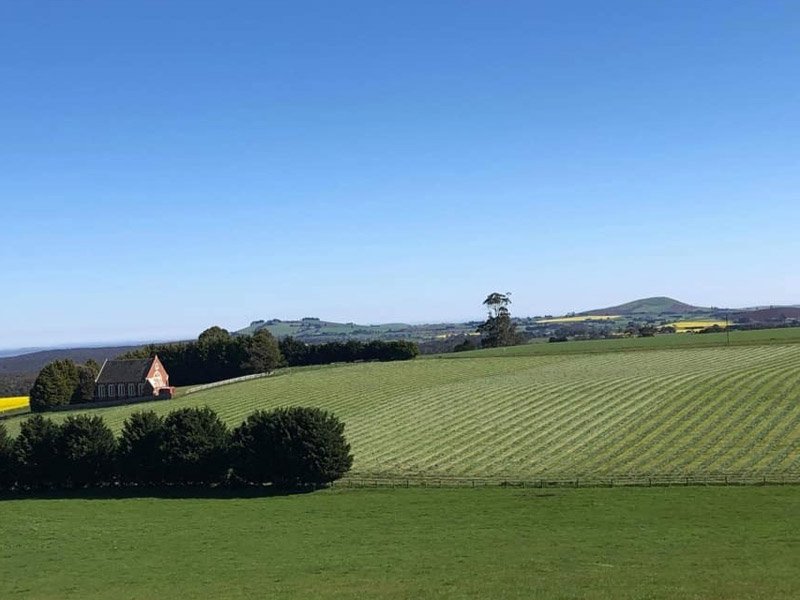
The Moorabool Shire contains a number of environmental and natural assets both of National, State and local significance. This includes the Long Forest Nature Conservation Reserve, Brisbane Ranges National Park, Lerderderg State Park, Werribee Gorge State Park, and the Wombat State Forest all of which are key assets within the Shire and attract an estimated visitation of approximately 550,000 people per year across all sites.

The community is concerned of the amenity impacts the transmission lines will have on these natural landscapes and the negative impact that will have on the State and Regionally significant landscapes and views that were identified in the South West Landscape Assessment Study (Planisphere, 2012).

The South West Landscape Assessment Study Describes the Lerderderg as…

This landscape is iconic as a wild and rugged place within the context of the broader regional landscape, in close proximity to Melbourne.

The distinctive rock formations and contrast in vegetation patterns of the gorge is iconic and scarce within the local context.

The composition of views and landscape elements within the Park are iconic in the context of the immediate location. Panoramic views of the broader landscape from Mount Blackwood are exceptional.

The WVTNP has high potential for negative impact on natural amenity and views which would directly conflict with the tourism brand and reasons for visit which are based on scenic values and nature-based assets. The tourism is a sector of local specialisation and investment potential at the state and local levels. 442,000 visitors per annum generate $141 million in output p.a. and supports 891 jobs.

Agricultural Impact

Agricultural Impact

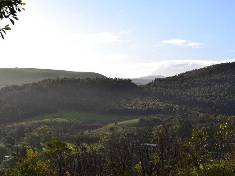
Landowners take great pride to ensure properties work in harmony with nature through safeguarding biodiversity practices (planting native trees and land care measures) producing a positive green effect. The sterilisation of this rich farming and bushland will do harm to our environment. The pathway for this transmission line will expose great swaths of land and will aid in accelerating more carbon in the atmosphere. The Victorian government is working hard to ensure carbon in sequestered by having land covered by trees and or grassland.
Economic Impact

Agriculture is a sector of local specialisation and further investment potential. The sector generates $295m output, $206m export value (33% of the Shire’s exports) and 800 jobs. Up to 330ha will be needed within easements, impacting up to 100 farms.

  • Direct loss of land for farming purposes due to construction, acquisition and easements.
  • Reduced efficiency, productivity and competitiveness of affected agricultural properties due to new physical and property barrier.
  • Short term disruptions to business trade during the construction period (e.g. construction on farmland/agricultural businesses).
Pentland Hills 1

Aesthetics, Livability and Wellbeing

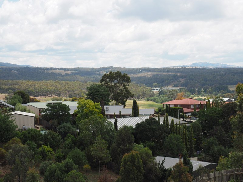
Aesthetic benefit to tourism, liveability, and wellbeing: These proposed towers are already having profound mental health and physiological impacts to those who may be impacted. These towers and cables are eyesores and to suggest placing them in the vicinity shows scant regard for the residents, the environment and tourists who travel to enjoy the area. Many residents have chosen a peaceful, country lifestyle and this project is ripping it all away and causing mental anguish in many of us.
Contrary to established practices 1

Contrary to Established Practices

It is noted that the northern area of Darley is currently supplied mostly by underground power. It would be ludicrous to negate these fire-risk abatement measures by installing 500kV overhead power lines on 85m towers in the area between Darley and Lerderderg State Park, Wombat State Forrest, Werribee Gorge State Park and Long Forest Conservation Reserve, as it appears currently, to be the plan.

Placing overhead high voltage power lines in areas north of the Western Highway between Ballarat and Bacchus Marsh/Darley would increase the risk of fire, with potential for significant impact on these parks, landscape assets, flora and fauna, and of course residences and thousands of visitors to this major Victorian growth corridor. With the prevailing summer wind conditions, any fires in these forested areas and/or the effects of associated ember attack, would directly threaten the Darley northern-boundary homes and properties on the hills to the south towards Swans Road and the rest of Darley.

Major Impacts

Major Impacts

The importance of major infrastructure projects with state-wide benefits, is recognised and supported by the communities, but it is important to ensure that these benefits are not delivered at the expense of significant impacts on select communities along its path.
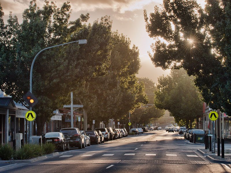
It is important to consider the local community’s concerns of the potential impacts that this project will have on their lifestyle and welfare.

The International Council on Large Electrical Systems (CIGRÉ) compared the greatest concerns of international communities on overhead power lines. Depreciation of land values was of major concern, surpassed only by visual and potential health impacts. Depreciation of land values is a significant impact on communities and deserves to be acknowledged and mitigated where possible.

Underground transmission cabling minimizes land depreciation impacts, while reliably and economically delivering power, satisfying the expectations of all communities concerned.

Residents living in the Moorabool Shire do so because they want to be near Melbourne while still living a lifestyle surrounded by a semi-rural atmosphere and its associated natural landscapes.  Everyone loves our smaller towns with their serene country charms, and we need to protect these from the impacts of these imposing infrastructures.

Moorabool Planning Scheme

Moorabool Planning Scheme

Moorabool Council’s Municipal Strategic Statement (MSS) objectives are to protect significant landscapes and vistas, and the natural features of the area including biodiversity.  The natural landscape and environmental assets of Bacchus Marsh are to be respected.

The natural landscapes of Bacchus Marsh District are diverse and complex, defined by their valleys, ridgelines, plateaus and escarpments.

The Environmental Significance Overlay (ESO2) is applied to the Lerderderg River and land 100m either side of the River to protect waterways that supply catchments for urban and rural development.

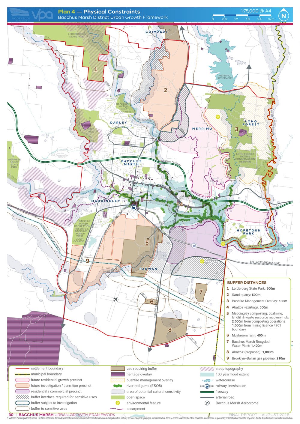
Bacchus Marsh Urban Growth Framework, produced by the Victorian Planning Authority, indicates a 500m buffer to sensitive uses in the corridor between Darley residential and the Lerderderg State Park.

Urban Growth Framework

Share this post

Darley Power Fight Bury The Cables Banner

Join Now

Get Involved

The only way to make a difference is to get involved. It’s easy to sit back and wait for others to do something but when you are staring at 75-85m towers in a few years time, you will kicking yourself for not doing something when you had the chance.  This is OUR only chance to stop these towers, so get involved now.

Welcome to the home of Darley Power Fight. A group of residents in Darley, Coimadai and Merrimu, united against high voltage transmission towers passing through our backyard. We came together through the realisation the transmission line will divide a narrow corridor between Darley and the Lerderderg State Park; altering landscape character, causing widespread damage to critical habitat for threatened species, increasing fire risk to the Park and thousands of residents, destroy our visual amenity, harm local agriculture and will impact businesses and property values. It will completely desecrate, in a few years, what nature has taken millions of years to create.

Learn more…

Home